
The Great American WiFi Safari
Picture this: it's 2003, and while your mom thinks you're "just driving around with friends," you're actually conducting the most comprehensive wireless network survey in American history. Armed with a Dell laptop running NetStumbler, a stolen Garmin eTrex GPS unit, and a cantenna crafted from a Pringles tube and some RadioShack wire, you're mapping the digital frontier one WEP-encrypted access point at a time.
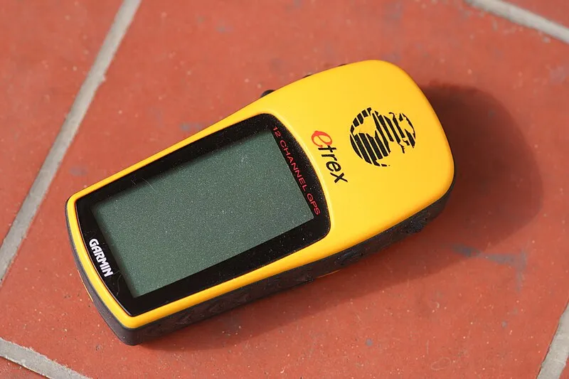 Photo of Garmin eTrex, via Wikidata/Wikimedia Commons
 Photo of Dell, via Wikidata/Wikimedia Commons
The wardriving scene wasn't just about free internet—it was America's first crowdsourced geolocation project, executed by teenagers with too much time and just enough technical knowledge to be dangerous. These packet-sniffing road warriors were building comprehensive WiFi databases that would make Google's current location services look like a high school science fair project.
From Pringles to Precision Mapping
The hardware was beautifully absurd. While Silicon Valley was throwing millions at enterprise-grade wireless surveys, wardriving crews were achieving better coverage with equipment that cost less than a tank of gas. The legendary cantenna—a directional WiFi antenna built inside a Pringles can—became the symbol of grassroots network reconnaissance.
These weren't just random kids with laptops. The serious wardriving crews developed sophisticated methodologies that would make modern data scientists weep with envy. They'd plot routes to maximize coverage, coordinate multi-vehicle sweeps of suburban neighborhoods, and maintain detailed logs that tracked everything from signal strength to encryption status to geographic coordinates.
The stolen GPS units were crucial. Most parents wouldn't drop $300 on a Garmin for their teenager's "computer hobby," so creative acquisition became standard practice. These devices provided the geolocation data that transformed random WiFi discoveries into precise digital maps.
Warchalking: The Original Social Network
Before Foursquare check-ins and Yelp reviews, there was warchalking—a system of sidewalk chalk symbols that communicated WiFi network status to fellow wardrivers. A simple circle meant open network, a W indicated WEP encryption, and closed networks got an X. These cryptic markings appeared on walls, sidewalks, and lampposts across America, creating a physical layer of the internet that existed in plain sight.
The warchalking community developed an entire semiotics of wireless access. Bandwidth estimates, network names, and even warnings about hostile administrators were encoded into chalk symbols that looked like abstract art to civilians but conveyed detailed technical intelligence to initiated wardrivers.
This wasn't vandalism—it was collaborative infrastructure documentation. Every chalk mark represented hours of careful signal analysis and field testing. The symbols created a persistent knowledge layer that helped wardriving crews avoid redundant surveys and focus on unmapped territories.
NetStumbler Nation
The software ecosystem was surprisingly sophisticated. NetStumbler became the de facto standard for Windows-based wardriving, offering real-time signal monitoring, GPS integration, and comprehensive logging capabilities. The more hardcore crews ran Kismet on Linux laptops, generating datasets that rivaled anything produced by professional wireless site surveys.
These applications didn't just detect networks—they performed deep packet analysis, identified access point manufacturers, tracked signal propagation patterns, and built detailed RF coverage maps. The data quality was often superior to commercial wireless surveys that cost thousands of dollars.
The wardriving community developed custom tools for data visualization and analysis. Spreadsheets full of GPS coordinates and signal measurements were transformed into detailed coverage maps that showed WiFi density, security posture, and network naming conventions across entire metropolitan areas.
The Accidental Infrastructure Census
What started as a quest for free internet access evolved into America's most comprehensive wireless infrastructure survey. Wardriving crews were documenting the digital divide in real-time, revealing stark disparities in broadband access between urban and rural areas, affluent and working-class neighborhoods.
Their databases captured the explosive growth of consumer WiFi adoption. Early surveys from 2001 might log a dozen networks per hour of driving; by 2004, the same routes would yield hundreds of access points. This organic data collection provided unprecedented insights into technology adoption patterns and infrastructure deployment.
The geographic scope was staggering. Dedicated wardriving crews would plan cross-country road trips specifically to map wireless networks in underserved areas. These expeditions generated datasets that covered thousands of miles and millions of access points, creating a comprehensive snapshot of America's emerging wireless landscape.
Legacy of the Packet Nomads
The wardriving scene faded as WiFi security improved and broadband became ubiquitous, but its influence on modern technology is undeniable. Every location-based service, from Google Maps to Uber, relies on the same fundamental concept: combining geographic coordinates with network infrastructure data to create useful applications.
The techniques pioneered by wardriving crews—crowdsourced data collection, real-time mapping, collaborative verification—became the foundation of Web 2.0 services that Silicon Valley later monetized for billions. The difference was scale and business model, not innovation.
Those Pringles can antennas and stolen GPS units represented something profound: the first generation of digital natives refusing to wait for corporations to map their world. They grabbed their laptops, hit the road, and documented the wireless frontier themselves, one chalk mark at a time.